
Introduction
East Africa’s coastline, stretching along the Indian Ocean, plays a crucial role in regional trade, fishing, and security. However, maritime zones face persistent challenges such as piracy, illegal fishing, smuggling, and environmental degradation. Space technology, especially through satellite-based monitoring, is transforming maritime surveillance, providing real-time insights and improving the ability of governments to safeguard their waters.
Satellite-Based Vessel Tracking
Modern satellites equipped with Automatic Identification System (AIS) receivers allow maritime authorities to track ship movements beyond the reach of traditional coastal radar. This technology helps in identifying suspicious activities, monitoring vessel routes, and ensuring compliance with international maritime laws.
Combating Illegal Fishing
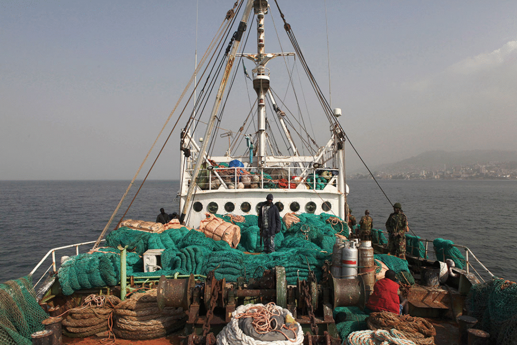
Illegal, unreported, and unregulated (IUU) fishing undermines food security and depletes fish stocks in East African waters. High-resolution satellite imagery enables detection of unregistered fishing boats and helps in documenting violations for enforcement action. This not only protects marine ecosystems but also supports the livelihoods of local fishing communities.
Piracy and Smuggling Prevention
Although piracy incidents have declined in recent years, the threat remains in certain areas. Space-based surveillance assists in monitoring high-risk maritime corridors, allowing security forces to respond quickly to suspicious activities. Similarly, satellite monitoring helps in detecting smuggling routes for narcotics, arms, and other contraband.
Environmental Monitoring
Satellites are instrumental in tracking oil spills, coastal erosion, and coral reef health. This data is vital for initiating rapid clean-up operations and for developing policies aimed at preserving marine biodiversity.
Regional Cooperation
Space technology offers opportunities for collaborative maritime security efforts among East African nations. Sharing satellite data across borders enables coordinated patrols, joint enforcement operations, and collective responses to environmental incidents.
Challenges in Implementation
Despite the potential, limitations such as high costs of satellite services, inadequate technical expertise, and dependence on foreign data providers hinder widespread adoption. Building local capacity and investing in regional satellites could help overcome these barriers.
Future Prospects
The integration of satellite monitoring with artificial intelligence could revolutionize maritime surveillance in East Africa. Predictive analytics, real-time alerts, and improved data sharing platforms are likely to make operations more efficient and proactive.
Conclusion
Space-based maritime surveillance is a game-changer for East Africa, offering the ability to monitor vast ocean areas effectively and respond to threats swiftly. By investing in local expertise, fostering regional partnerships, and leveraging advanced satellite technologies, East African nations can better protect their maritime resources and ensure sustainable use for future generations.

