Introduction
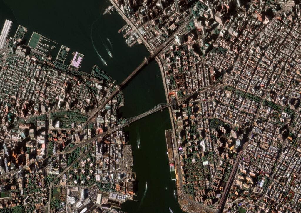
Satellite data is revolutionizing how cities across the world are planned, monitored, and managed. In East Africa, where urban populations are expanding rapidly, access to accurate and timely geospatial information has become essential for sustainable development. From infrastructure design to environmental management, satellite-based insights are helping city planners make more informed decisions.
Urban Growth and the Need for Data
Cities in East Africa—such as Nairobi, Addis Ababa, Kampala, and Kigali—are growing at unprecedented rates. This expansion often outpaces traditional planning methods, leading to traffic congestion, informal settlements, and pressure on public utilities. Satellite imagery offers a high-resolution, bird’s-eye view of urban areas, enabling planners to assess current land use, detect encroachment, and identify available space for future development.
Applications in Infrastructure Planning
Satellite data is increasingly used to design and monitor infrastructure projects, including roads, public transport networks, and water systems. For example, transportation agencies can use imagery to map traffic patterns and identify areas where new roads or flyovers are needed. Similarly, utility providers can locate the best sites for water treatment facilities or renewable energy installations by analyzing environmental and topographic data from space.
Supporting Disaster Risk Management
East African cities are vulnerable to floods, landslides, and other climate-related hazards. Satellite-based mapping allows authorities to model flood-prone areas, monitor rainfall patterns, and plan evacuation routes in advance. By integrating satellite data into early warning systems, urban centers can respond more effectively to emergencies and reduce the risk to human life and property.
Enhancing Environmental Monitoring
Urban growth can place severe stress on natural ecosystems, including rivers, forests, and wetlands. Satellite data helps track changes in vegetation cover, water quality, and air pollution levels. Such monitoring allows city planners to identify and protect ecologically sensitive areas, ensuring that development is balanced with environmental preservation.
Challenges in Data Utilization
While satellite technology offers significant advantages, its adoption in East African urban planning faces obstacles. Limited technical expertise, insufficient funding, and restricted access to high-resolution data can slow progress. Additionally, many municipalities lack the digital infrastructure to store and analyze large datasets effectively.
Opportunities for Capacity Building
International partnerships, training programs, and investment in geospatial research are helping to bridge the skills gap. Universities in the region are increasingly incorporating remote sensing and geographic information systems (GIS) into their curricula, creating a new generation of urban planners capable of leveraging satellite data. Public-private collaborations also provide avenues for sharing resources and technology.
Conclusion
Satellite data is transforming urban planning in East Africa, enabling more strategic decision-making, better disaster preparedness, and improved environmental stewardship. As technology becomes more accessible and local expertise grows, the integration of satellite information into city management will likely become standard practice—helping to build resilient, sustainable, and well-planned urban centers across the region.

