Introduction
Space technology is rapidly becoming an essential tool for environmental management in East Africa. From monitoring deforestation to tracking water resources, satellite-based systems are providing governments, researchers, and conservation groups with valuable data. This technology enables more informed decision-making and helps address the environmental challenges that threaten the region’s biodiversity, agricultural productivity, and climate resilience.
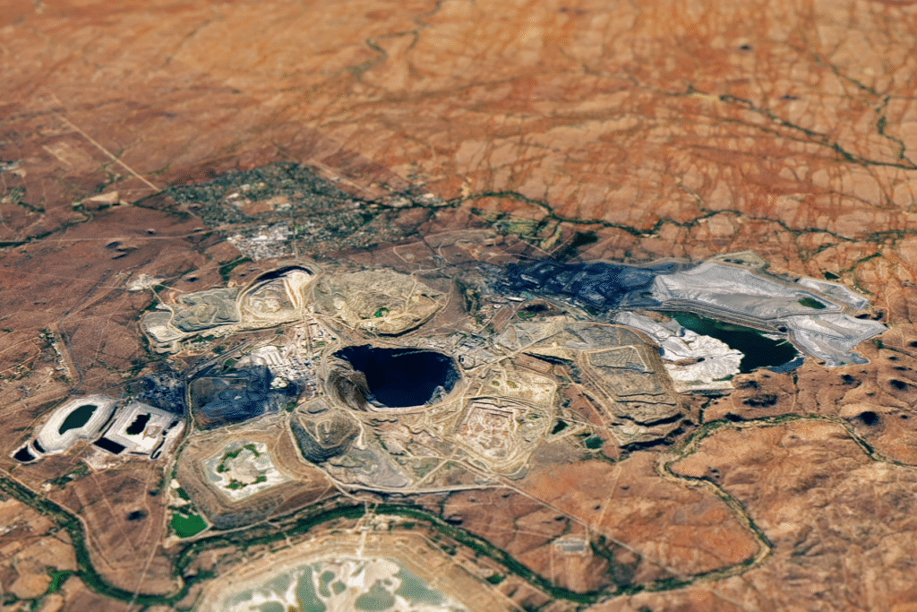
Satellite Monitoring for Land and Forests
Deforestation and land degradation are pressing issues in East Africa. Satellites can capture high-resolution imagery that helps track changes in forest cover, assess land use, and detect illegal logging activities. These insights are crucial for designing targeted conservation strategies, enforcing environmental laws, and ensuring sustainable land management.
Water Resource Management
Many East African countries face recurring water scarcity, which is worsened by climate change. Satellite technology offers tools for monitoring rainfall patterns, river flows, and groundwater levels. This information helps governments plan for irrigation, manage drought risks, and ensure equitable water distribution for agriculture and urban needs.
Disaster Prediction and Response
Space-based systems also play a vital role in disaster preparedness. Satellites can detect early signs of floods, landslides, and wildfires, enabling faster responses that save lives and reduce property damage. In the aftermath of a disaster, satellite imagery supports damage assessment and guides the allocation of relief resources.
Biodiversity Protection
East Africa’s rich biodiversity is under constant threat from habitat loss, poaching, and climate shifts. Satellite imagery and geospatial data help conservation agencies track wildlife migration, map protected areas, and monitor environmental changes that could affect endangered species. These tools enhance the ability to safeguard ecosystems.
Climate Change Research
Space technology provides long-term datasets essential for studying climate change. Satellites measure sea surface temperatures, atmospheric gases, and vegetation health—offering a clearer picture of how climate change impacts the region. Policymakers and scientists use this data to develop adaptation and mitigation strategies tailored to East Africa’s specific needs.
Challenges in Adopting Space Technology
While the benefits are clear, challenges such as limited technical expertise, high costs, and inadequate data-sharing systems can slow adoption. Additionally, ensuring that satellite data is interpreted correctly and applied effectively requires strong collaboration between scientists, policymakers, and local communities.
Future Prospects
With growing regional investments in space capabilities and partnerships with international agencies, the use of space technology for environmental management is set to expand. Training programs, local satellite missions, and improved ground infrastructure will make these tools more accessible to decision-makers across East Africa.
Conclusion
Space technology is transforming environmental management in East Africa by providing accurate, timely, and actionable data. As the region strengthens its technical capacity and fosters collaboration, these tools will play an even greater role in protecting natural resources, supporting sustainable development, and building resilience to environmental threats.

