Introduction
Satellite technology has emerged as a critical tool for managing East Africa’s diverse environments. From dense forests and arid savannas to fragile wetlands and coastal zones, satellite imagery enables governments, researchers, and conservationists to monitor ecological changes, plan sustainable resource use, and respond effectively to environmental threats. This integration of space-based observation into environmental management is helping the region safeguard natural assets while supporting socio-economic development.
Monitoring Forests and Land Use
Deforestation remains a pressing challenge in countries such as Uganda, Tanzania, and Ethiopia. High-resolution satellite images make it possible to track forest cover changes over time, identify illegal logging activities, and assess the impact of agricultural expansion.
For example, Kenya’s Forest Service uses data from the Sentinel and Landsat programs to produce real-time forest maps, allowing for quicker interventions in threatened areas. In Ethiopia, satellite data supports reforestation campaigns by identifying optimal planting zones and monitoring tree survival rates.
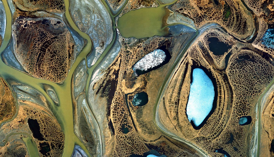
Water Resources and Climate Resilience
Water scarcity and erratic rainfall patterns threaten agriculture and food security in many East African countries. Satellites provide vital data on river flow levels, lake surface changes, and groundwater availability.
Lake Victoria Basin management agencies rely on satellite monitoring to detect pollution sources and track algae blooms, which affect fisheries and local livelihoods. In arid regions of Somalia and northern Kenya, satellite-based rainfall estimates guide drought preparedness plans, enabling authorities to deploy relief measures before crises escalate.
Disaster Preparedness and Response
Natural disasters such as floods, landslides, and cyclones often strike with little warning. Satellite imagery improves early warning systems and speeds up disaster response efforts. Rwanda’s Ministry of Emergency Management, for instance, uses satellite-derived hazard maps to identify vulnerable communities and prioritize evacuation routes.
Following severe flooding in South Sudan, satellite images were used to assess the extent of inundation, helping relief agencies allocate resources and plan recovery efforts more efficiently.
Wildlife Conservation and Anti-Poaching
Satellite technology also plays a growing role in wildlife protection. In Kenya and Tanzania, conservation groups use imagery to track habitat changes in national parks and migration corridors. By mapping vegetation health, water sources, and human encroachment, satellite data informs strategies to protect endangered species.
Additionally, integrating satellite imagery with drone surveillance allows rangers to respond faster to poaching threats and manage protected areas more effectively.
Challenges to Adoption
Despite these successes, the full potential of satellite imagery in environmental management remains limited by cost barriers, inadequate local expertise, and gaps in internet connectivity. Many agencies depend heavily on external partners for image processing and interpretation, which can slow decision-making and reduce autonomy.
Opportunities for Growth
To strengthen regional capacity, East Africa can invest in training programs for GIS specialists, establish shared data processing centers, and develop partnerships with global space agencies. Expanding access to open-source satellite data—combined with improved broadband infrastructure—would enable faster and more independent analysis at the national and community levels.
Conclusion
Satellite imagery is revolutionizing how East Africa understands and manages its environment. From protecting forests and water sources to enhancing disaster preparedness and wildlife conservation, space-based tools are proving indispensable. By building technical capacity and improving data accessibility, the region can fully harness satellite technology to balance environmental stewardship with sustainable development goals.

