Introduction
Agriculture is a vital economic sector in East Africa, employing the majority of the population and providing the main source of food and income. However, the sector faces persistent challenges such as climate variability, soil degradation, pests, and limited access to reliable data. Space technology—particularly through satellites and remote sensing—is offering innovative solutions to boost agricultural productivity, sustainability, and resilience across the region.
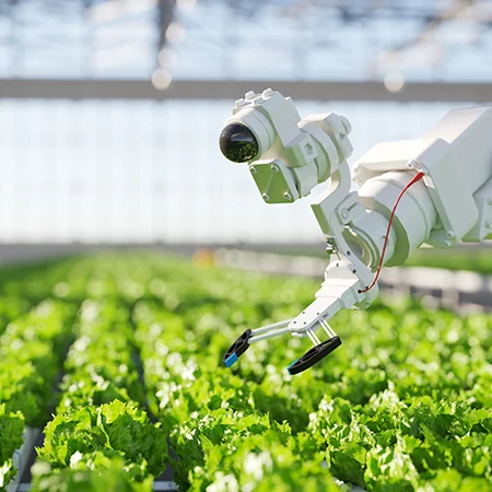
Precision Farming through Remote Sensing
Remote sensing allows farmers and agricultural agencies to collect detailed information on crop health, soil moisture, and nutrient levels. By using this data, they can adopt precision farming techniques that optimize planting schedules, irrigation, and fertilizer use. This approach not only increases yields but also reduces costs and minimizes environmental impact.
Drought Prediction and Water Management
Satellites provide valuable insights into rainfall patterns, groundwater levels, and drought risk zones. This information supports the development of early warning systems that alert farmers to water shortages well in advance. Such timely updates help them adjust crop choices, manage irrigation efficiently, and reduce losses caused by prolonged dry periods.
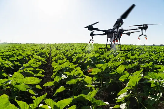
Pest and Disease Monitoring
Agricultural pests and diseases, such as locust swarms and crop blights, can cause devastating losses. Space-based imagery can detect vegetation stress before the damage becomes visible to the naked eye, enabling early intervention. Governments and agricultural extension services can use this data to coordinate rapid responses and contain outbreaks.
Market Access and Planning
Accurate satellite data on production trends helps policymakers and traders anticipate harvest quantities and market supply. This supports better planning for storage, transportation, and trade, reducing post-harvest losses and improving farmers’ incomes.
Training and Capacity Building
To fully benefit from space technology, East Africa requires skilled professionals who can interpret and apply satellite data effectively. Agricultural institutions and space agencies are beginning to integrate training programs that build local expertise in geospatial analysis and data-driven farming practices.
Challenges to Adoption
Despite the clear advantages, smallholder farmers—who make up the majority in East Africa—often lack direct access to satellite data or the tools needed to interpret it. High costs, limited internet coverage in rural areas, and the need for user-friendly platforms remain significant barriers.
Future Outlook
With increased investment in local satellites, mobile-based advisory platforms, and partnerships with global space organizations, space-based agriculture solutions are becoming more accessible. If these trends continue, East Africa could see a significant boost in food security, climate resilience, and rural livelihoods over the next decade.
Conclusion
Space technology is emerging as a powerful ally in transforming East Africa’s agricultural sector. By enabling precision farming, improving water use, and strengthening pest control measures, it offers the tools needed to meet the challenges of a changing climate and a growing population. Continued investment and capacity building will ensure that these benefits reach farmers across the region.

